Navigating Italy's Forgotten Apennine Passes
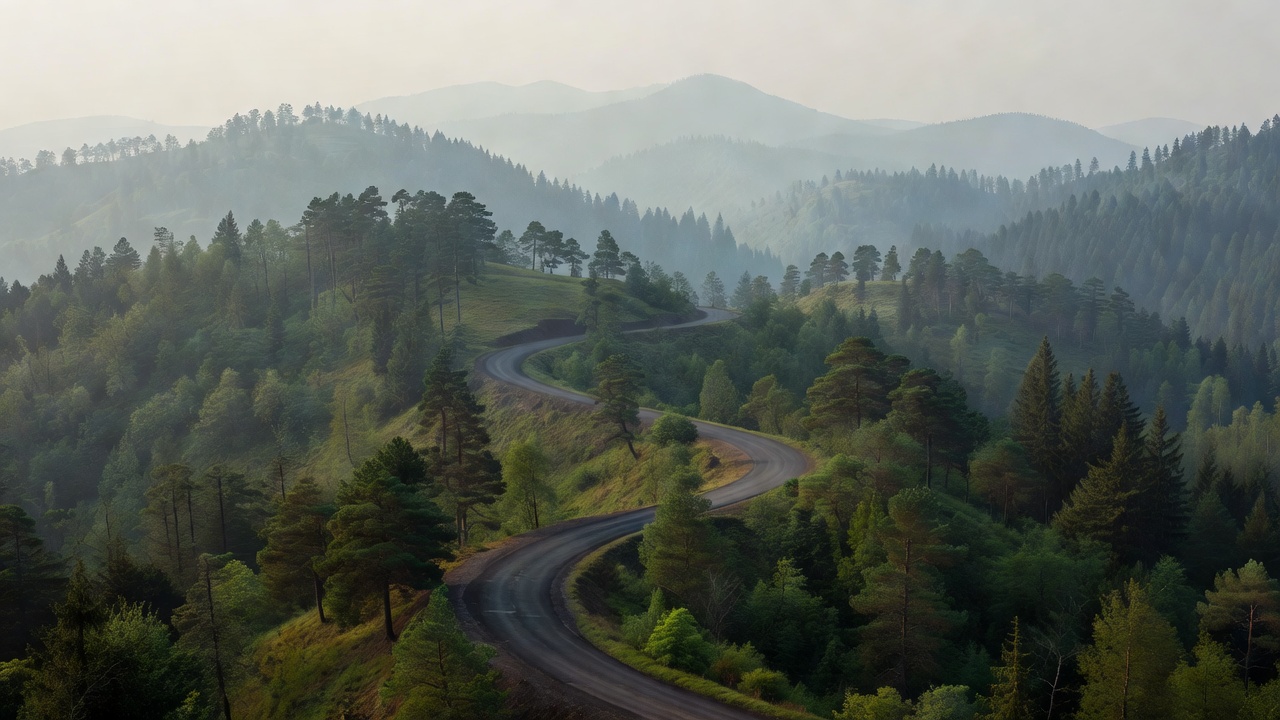
When drivers think of Italy, their minds inevitably drift north. The Stelvio Pass, the Great Dolomite Road, the lakes of Lombardy—these are the poster children of European grand touring. Yet, running down the entire length of the Italian peninsula is a rugged, forested spine that remains largely ignored by international touring traffic: the Apennines.
The Allure of the Unknown
The Apennine Mountains do not offer the jagged, snow-capped theatricality of the Alps. Instead, they provide a dense, rhythmic, and endlessly twisting driving environment. This is a region defined by ancient forests, crumbling medieval hill towns, and roads that conform strictly to the difficult topography dictated by centuries of localized travel, long before the era of modern earth-moving equipment.
Driving here is a tactical exercise. The roads are narrower, the corners tighter, and the straights virtually non-existent. It is an environment that rewards nimble handling and momentum conservation over sheer horsepower. The sheer volume of secondary roads (Strade Provinciali) weaving through regions like Emilia-Romagna, Tuscany, Marche, and Abruzzo means you can drive for days without seeing a tour bus.
Navigating the Terrain
Unlike a single destination road, driving the Apennines requires stitching together a route from various provincial maps. A prime example is the network radiating around the Parco Nazionale dei Monti Sibillini or the high plain of Campo Imperatore in Abruzzo, often referred to as "Little Tibet."
The climb to Campo Imperatore is a stark contrast to the forested northern Apennines. The road breaks out onto a vast, high-altitude plateau surrounded by imposing limestone peaks. The tarmac stretches out in long, undulating curves, allowing for a broader perspective and a momentary respite from the relentless tight hairpins found in the dense chestnut forests further north.
Conversely, tackling passes like the Passo della Cisa or Passo del Muraglione (historically favored by local test drivers and motorcyclists) demands high concentration. The surface quality can vary abruptly from pristine recent asphalt to broken, frost-heaved tarmac requiring careful line selection.
Pros and Cons of the Apennine Network
| Advantages | Challenges |
|---|---|
| Extremely low tourist traffic outside of August holidays. | Inconsistent road maintenance and frequent potholes. |
| Deep cultural immersion; authentic, untouristed villages. | Navigation can be complex; GPS frequently routes to main highways. |
| Longer driving season than the high Alps (passes open earlier/close later). | Narrow lanes require caution regarding oncoming local traffic (especially tractors). |
| Significantly lower costs for accommodation and dining. | Fewer dedicated viewpoints or lay-bys for photography. |
Logistics and Preparation
A smaller vehicle is a distinct advantage here. Wide performance cars will find the lanes restrictive and stressful when meeting oncoming local traffic. A well-sorted compact car, a light sports car, or an adventure motorcycle is the ideal tool for the job.
Fuel stations in the high Apennines observe strict closing hours, particularly during the afternoon riposo and on Sundays. Automated pumps (fai da te) are common but frequently reject foreign credit cards; carrying a reserve of Euro notes is highly recommended. Similarly, dining options follow traditional hours—if you miss the lunch window between 12:30 and 2:00 PM, you will likely be driving hungry until the evening.
Final Thoughts
The Apennines represent the working heart of Italian geography. It is not manicured for mass consumption. For the driver willing to engage with imperfect surfaces and complex navigation, it offers a deeply satisfying, rhythmic driving experience that captures the essence of classic European touring without the modern crowds.